About
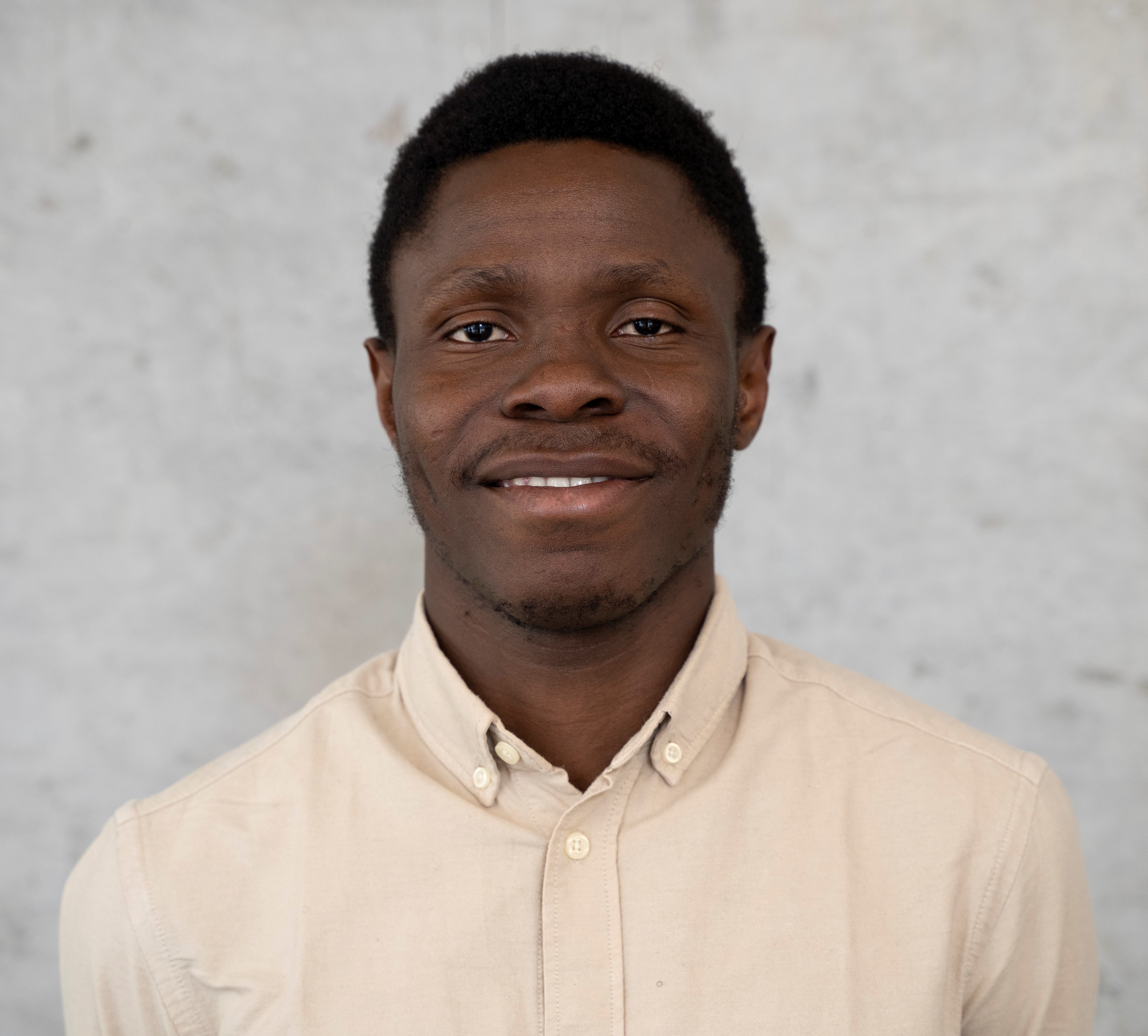
Hello, I am Rufai Balogun, an EO Data Scientist utilizing earth observation data science for driving sustainable planetary health across different thematic areas including climate and disaster risks monitoring, public health monitoring, and forest inventory.
I am currently a Research Assistant at the Center for Geospatial Analytics, Clark University, Worcester, Massachussetts. My research focuses on adapting Machine Learning methods to remote sensing datasets.
Prior to this, I was at the Institute for Earth Observation, European Research Academy (EURAC), Bolzano, Italy. My research focuses on building scalable pipeline and workflow design for thematic topics such as drought monitoring and soil moisture anomalies. At the Christian Doppler’s Laboratory for Geospatial and EO-based Humanitarian Technologies (CDL-GEOHUM) as a Geospatial Analyst, I developed a population spatial indicator for assessing the emergency scenarios necessary for initiating a Mass Drugs Administration (MDA) for malaria-prone regions in the African Western Rift. As a Geospatial Analyst at Space4Good, I worked on the extraction of tree crowns from aerial imageries. As part of a team of 5 other early-career scientists at the Sixth Avis, I co-developed the EARWAC analytic dashboard for monitoring coastal multi-hazards in 15 coastal west African countries.
Education
I am currently pursuing a Doctoral Degree in Geography and Environmental Studies with a focus on Remote Sensing at the Graduate School of Geography, Clark University.
I completed the Copernicus Master’s in Digital Earth, an Erasmus Mundus Joint Master’s degree program hosted by the University of Salzburg and the University of South Brittany with a specialization in Geo-Data Science. During this time, I developed a thesis on the “Transferability of visual-language models to remote sensing images”. I have a background in Meteorology and Climate Science from the Federal University of Technology, Akure (FUTA).
Community
I currently serve as a young professional ambassador for the IEEE Geoscience and Remote Sensing Society (GRSS) working on the Industry Relations Portfolio.
Research Interest
- Machine Learning,
- Earth Observation,
- Humanitarian Emergencies,
- Hydrometeorological Hazards
